CDT in Colorado: Lightning, Hail, and Wicked Awesome Views
You’re probably interested in the Continental Divide Trail because of the Colorado section. It is one of the most scenic sections in the whole trail. While scenic, the CDT in Colorado comes with a number of challenges that should be known before hiking.
The length of the CDT in Colorado can differ depending on which routes you take. The cost? That depends on how much luxury you need. Colorado is MORE expensive than every other state on the CDT.
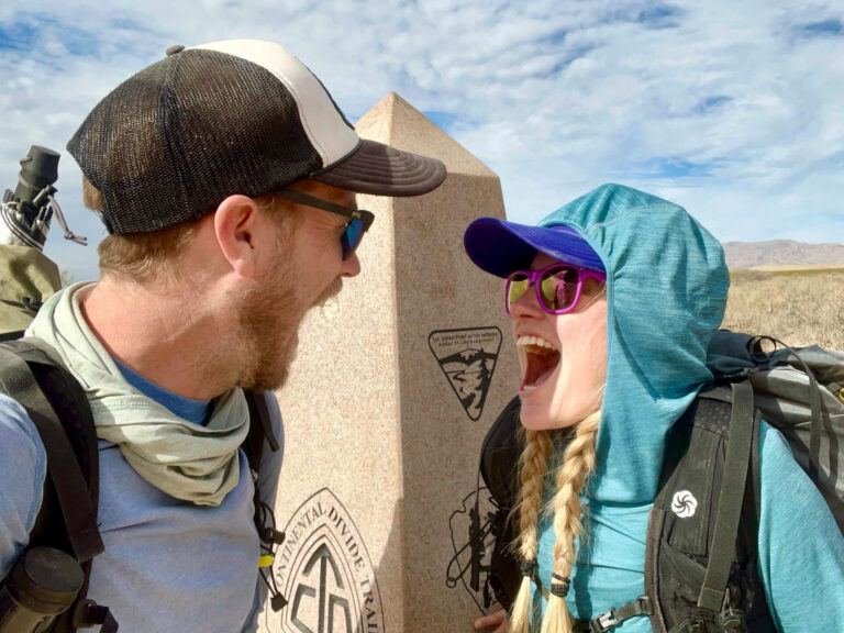
I’ve hiked the CDT twice, once in either direction, as well as the Colorado Trail. I’ve learned quite a bit in that time and am here to answer all your questions.
Oh yeah, and what the heck is the difference between the Colorado Trail and the Continental Divide Trail? I got you covered…
This post contains affiliate links. I have used every product mentioned, and if you purchase one of these products, I can make a small commission at no cost to you.
List of Contents
CDT in Colorado BASICS
Here’s the low-down.
The length of the Continental Divide Trail in Colorado ranges from 591 miles to 726 miles.
The lowest point is 8,044 ft and the highest point is 14,278 ft.
Part of the Continental Divide Trail overlaps the Colorado Trail.
The best season to hike in Colorado ranges from mid-August to mid-September.
Colorado sees an average of 300 sunny days per year. This is deceptive because a 30 minute afternoon thunderstorm will count toward this total because the sun is out the rest of the day.
Average snowfall on the mountains can reach 300 inches per year.
Route Options on the CDT in Colorado
The CDT in Colorado has THREE major route choice designs. These choices reflect the varying mileage.
First, going northbound, thru-hikers must decide between the San Juan’s route and the Creede Cut-Off. The official route makes a horseshoe shape to stay along the divide longer. The San Juan route has a higher overall elevation and longer miles. The Creede Cut-Off is just that: a cut-off. It is a great option for those trying to avoid snow or thunderstorms, however, it misses a lot of spectacular views.

Second, the route choice is between the Silverthorne Alternate (Chipotle) and the Argentine Spine (Grays and Torreys). Again, those looking to avoid snow or spend less time above tree line, the Silverthorne Alternate keeps the hiker lower longer. Those looking to summit Grays Peak (a fourteener) and have significantly longer 360-degree views can choose the Argentine Spine.

Lastly, a loop in Rocky Mountain National Park exists for those who would like to spend a day in the park. Those wishing to save a day of hiking can take the small four-mile cut-off.

Continental Divide Trail vs Colorado Trail

Many people confuse the CDT in Colorado with the Colorado Trail. This is understandable.
The short answer: they overlap!
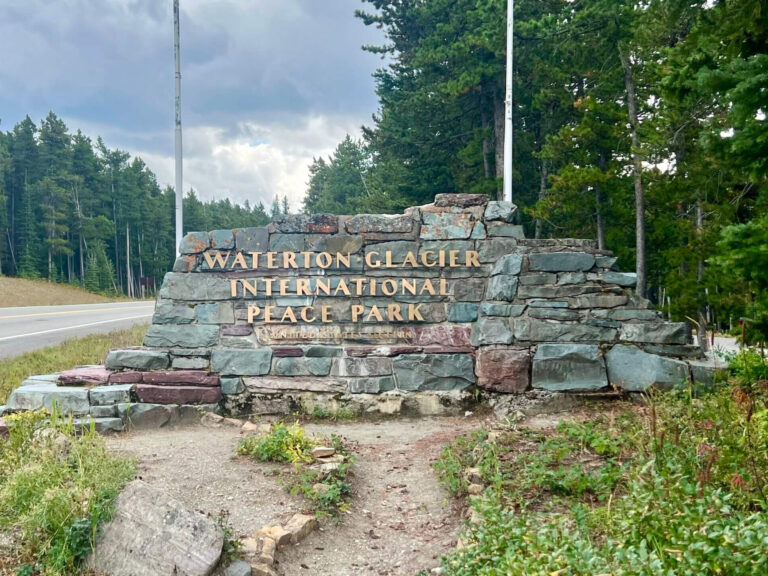
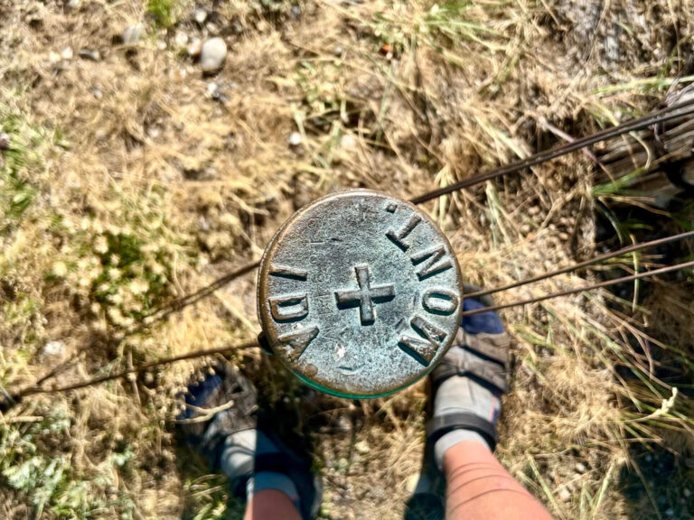
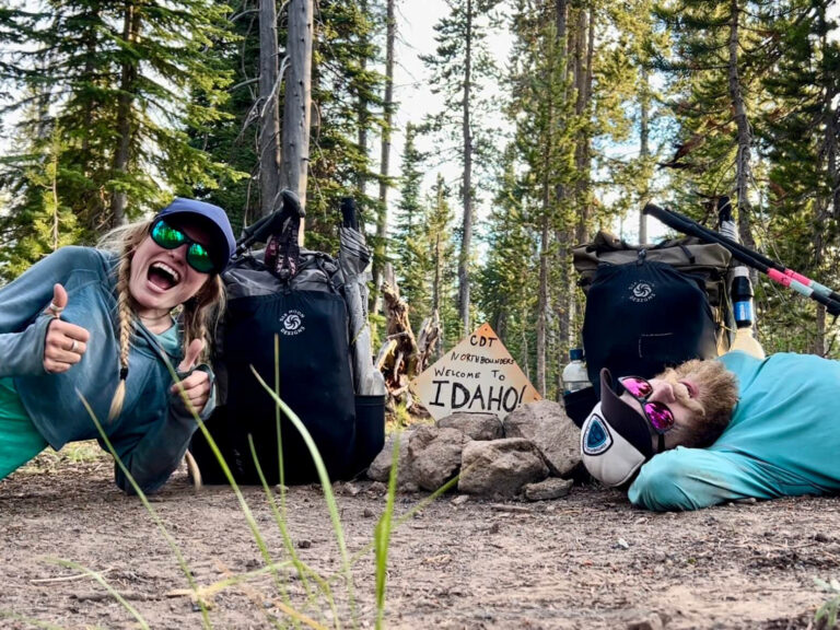
The Continental Divide Trail enters Colorado from the south at Cumbres Pass. It exits Colorado at the Wyoming border in Medicine Bow National Forest.
On the other hand, the Colorado Trail starts just south of Denver and goes to Durango. Essentially, it starts and ends inside Colorado, not near its state borders.
The Colorado Trail is 567 miles. It joins the CDT for one or two large sections in the middle. Previously, the Colorado Trail used the East Collegiate Route while the CDT used the West Collegiate Route. Now, the CT hikers can choose.
Usually CT thru-hikers go from Denver to Durango. Thus, the Colorado Trail joins the Continental Divide Trail near Breckenridge (or Copper Mountain on the Silverthorne Alt.).
The East Collegiate route breaks off from the CDT by Twin Lakes and rejoins the CDT just south of Monarch Pass.
The Colorado Trail and the Continental Divide Trail continue together from Monarch Pass to near Stoney Pass. From nearby Stoney Pass, the Colorado Trail continues west toward Durango and the Continental Divide Trail goes south toward Wolf Creek Pass.
Best Times to Hike the CDT in Colorado

Neither northbound or southbound hikes on the CDT in Colorado place you there in the ideal season. I talk a bit more about New Mexico Southbound vs. Northbound, but I think a southbound CDT is usually better.
Northbound CDT thru-hikes place hikers at the southern Colorado border near the end of May or Early June. This is MUD SEASON. Many of Colorado’s ski resorts are still open through the beginning of May, and some stay open well into June.
Southbound CDT thru-hikes place hikers at the northern Colorado border toward the end of August or Early September. While the aspen leaves are changing to glorious colors, southbound hikers still have to race to beat the incoming snow.
So, when IS the best time to hike the CDT in Colorado?
In most years, between the middle of August to the end of September. This usually places hikers after the summer monsoon season (crazy thunderstorms), but before the early season snow.
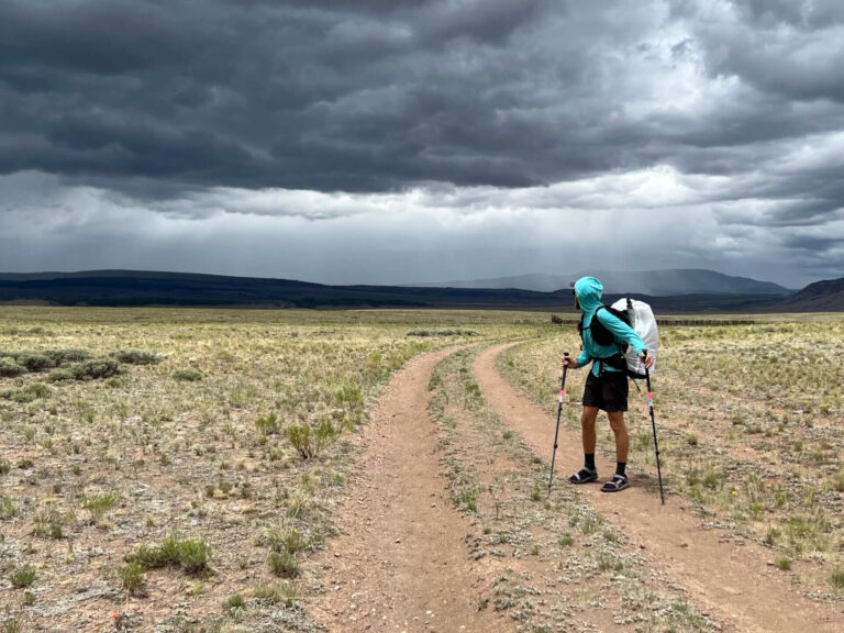
Afternoon Thunderstorms

Let’s talk about those crazy summer monsoon thunderstorms!
They’re nuts.
Thunderstorms in Colorado hit in the afternoon between 1pm and 6pm. Occasionally, two storms hit within that area.
Since much of the CDT in Colorado is above tree line, high on ridges, you must understand the weather patterns.
Thunderstorms in Colorado occur from heat building, rising, and colliding with cooler mountain air. The storms sweep through to cool off the environment.
They usually have some of the gnarliest thunder you’ve ever heard and some of the biggest hail.
In 2022, on the CDT, we experienced an above-average number of storms with hail. Sometimes we had to set up our tarp to escape it. Other times, we had to squat down in a lightning position and wait 45 minutes for it to pass. And sometimes, we were lucky enough to be below the tree line and could just hike through the storms.
This is one of the main reasons that the CDT can be dangerous. You can mitigate this danger with awareness.
How did we still make miles with so many thunderstorms?
- We started EARLY. Starting hiking at 6am, we aimed to get as many miles in as possible before the afternoon storms forced us to chill.
- We hiked LATE. If the storm caught us above tree line and we pitched the tarp, we took a nap. This break allowed us to hike until 9-10pm.
- It is better to take a break at tree line than to get struck by lightning.
Wicked Views

Despite all the hazards of thru-hiking in Colorado, it does reward you with some of the MOST AMAZING views on the Continental Divide Trail.
Ridgeline after ridgeline offers spectacular 360-degree views. You can see for miles and miles over mountains and down valleys.
The sunrises and sunsets bathe the mountains in beautiful alpenglow that seeps into your soul.
That is, if you dare brave the mountains 😉
Cost of the CDT in Colorado
This became a huge negative for us in 2022 on our northbound thru-hike.
Colorado lodging prices have reached outrageous heights. Almost every hostel along the CDT in Colorado had bunks at $40/night, NOT including a shuttle. Yup. Yikes!
As a couple, $40/night/person to not sleep in the same bed seemed utterly ridiculous to us.
Yet, the hotel prices ranged from $110 to $300. Some towns had nothing under $190 (Steamboat Springs). We protested by going in and out of the town without spending the night anywhere.
Some of the Colorado towns had more affordable camping options, like a KOA. However, as a thru-hiker, I struggle to PAY someone to camp – something I do for free every night on trail.
CDT in Colorado Cost Hacks
- Get a group or tramily together and split the cost of an Airbnb or hotel room.
- Spend money on camping.
- Find rec centers for showers and laundromats, then leave town without spending the night.
- Contact that acquaintance friend or that friend of a friend who lives in Colorado and sleep on their floor.
Conclusion
I hope this rundown of the CDT in Colorado helps you plan your own thru-hike or section hike. Despite how much I complain about the cost of hiking the Continental Divide Trail in Colorado or its thunderstorms, I love it. It’s stunning and hard and glorious.
Additional Resources:
I have many posts about the Continental Divide Trail here!
Continental Divide Trail Coalition