Stats
👣 Miles: 15.53
📈 Elevation Gain: 4,334 ft
📉 Elevation Loss: 4,446 ft
Overall Weather: Cold ➡️ Sunny & Hot
An Avoid-the-Gun-Nut Kinda Morning
We woke up and started walking early knowing we had to put in some vert today.
But first: avoid the private property with cameras and all those threatening Republican gun signs they all seem to have.
I get it…you don’t like people and like your space. But, I don’t think you need that many threatening signs. A “private property, no trespassing sign or two would reasonably suffice.
Anyway, we got to do the fun cross-country to avoid private property move this morning. It wasn’t as bad as some of them get, but some of the wash exits had eroded out pretty badly.
A few times we had to adjust a bit to find better exits. While the recent rains gave us great water, it also made the rocks a lot looser. Thus, rocks that can normally hold your weight don’t.
Eventually, we got beyond it and back on an old mining road that took us upward a bit.
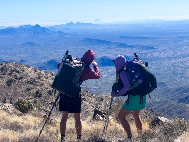
The Classic Mountain Cross-Country
We got to a point where we just had to go up a ridge. 500 vertical feet in 0.35 miles. For reference, most of the steep sections of the Appalachian Trail usually are about 1000 vertical feet per mile.
Basically, it was steep. And we got to go around ocotillos, mesquites, palo verdes, and something I could only identify down to “thorn trees.” Read: all spiky. But, out of the washes, the rocks were more solid and didn’t roll as much.
The Old 4WD Road/Trail
That cross-country took us to an old 4WD road that’s now blocked to vehicles. Therefore, it’s basically a wide trail.
It clearly could not be driven anymore. Parts had slid, washed out, giant rocks in it, a few creosote grew tall in the middle, and other obstacles.
As a walking path, while steep, it was easy to follow and the break in navigation is always nice. I love figuring out off-trail navigation, but sometimes I need a break.
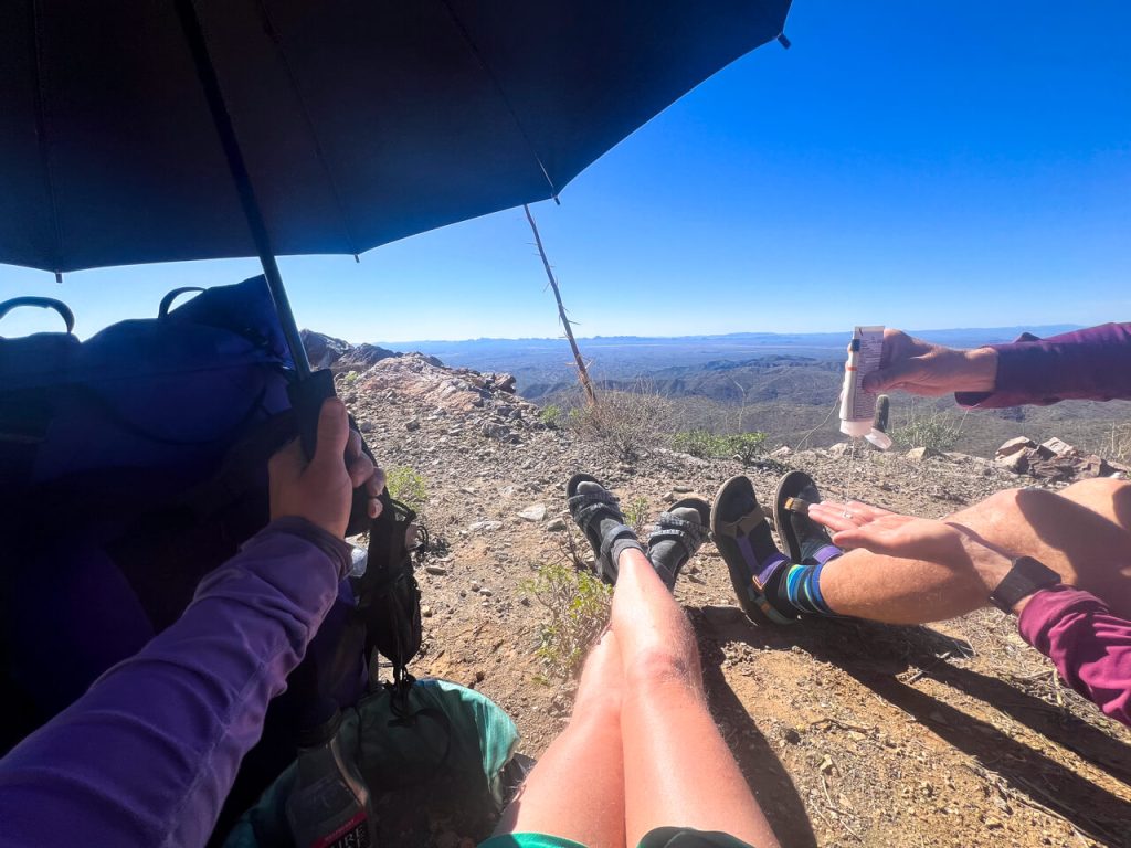
We made it to a side high point before deciding to have lunch.
Harquahala Mountain Summit

We got to the top after two OHVs started to descend. (There’s also an actual Jeep road to the summit.)
We were secretly hoping to look pathetic enough that they might offer a cold beverage. But alas, the first had a poodle in the passenger seat.
Despite the climb, we did pack enough water and didn’t need it. We managed to stay just ahead of the heat by climbing higher right as it started for the day.
The summit had an old building and radio tower on top. It had a slew of interpretive signs. However, every one of them had been bleached white by the hot Arizona sun and nothing was readable.
Downhill on Single Track Trail

For the descent, we were treated with an actual single-track trail. That felt good to be on even if it was steep and rocky.
We saw a few red-tailed hawks and two kestrels on the way down.
As we descended, we made sure to pause a few times to give our knees a minute…and to eat.
Both of us got hungrier on the sufferfest day and the climb up Harquahala Mountain put us in full hiker hunger.
Luckily, we shaved off half a day from what we planned, so we enjoyed sitting and eating.
Camp & Cache
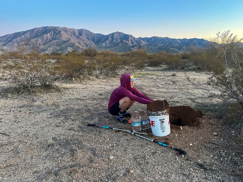
We found our 4th cache right as the sun set below the horizon and picked our tent nearby.
We hid it well and it came out intact.
For dinner, we had our cache meal and a few of the extra snacks we packed before falling right to sleep.