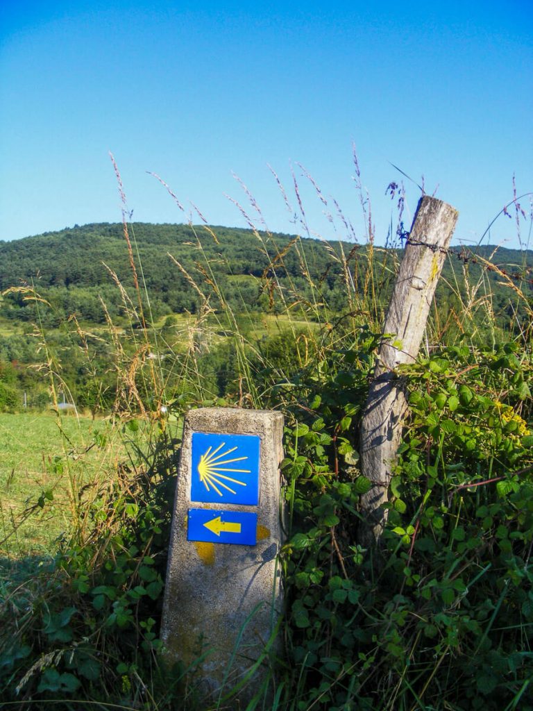
If you’ve heard of the Camino de Santiago, you’ve probably heard of the Camino Frances. It’s the main Camino de Santiago, with the most services for walkers or cyclists.
You’ve probably found this page because your feet have gotten the itch to walk. Maybe you are between jobs, trying to make a life change, learning to process grief, or maybe it’s a retirement dream.
The Camino Frances has something for everyone, from first-time long-distance walkers to the experienced thru-hiker looking for something different.
The Camino Frances was the first long-distance trail I walked when I was only 19. I had barely backpacked before but was generally fit. I wanted to thru-hike the Appalachian Trail, and I thought, “If I can walk 500 miles, clearly I can walk 2200 miles.” Over 20,000+ miles later, it was a great decision!
This is an ideal adventure for those looking to walk every day but have a bed to sleep in each night. The Camino Frances offers plenty of accommodation options, as well as restaurants, cafés, and stores.
Let’s dive in and get you out on your own Camino adventure!
This post contains affiliate links. If you purchase a product or book through these links, I can make a small commission at no cost to you. It helps me to keep writing helpful guides.
List of Contents
The Main Camino de Santiago & Quick Facts
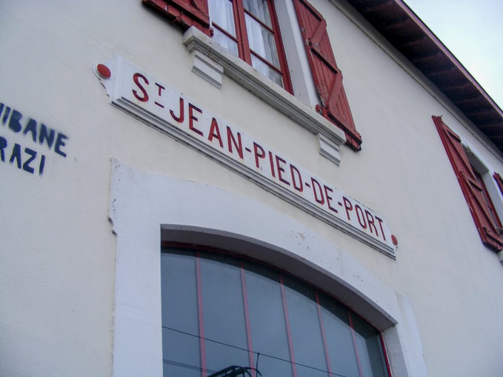
Start: St. John Pied de Port, France
Finish: Santiago de Compostela, Spain (or continue to Finisterre/Muxía)
Distance: 486Miles/ 782 Kilometers
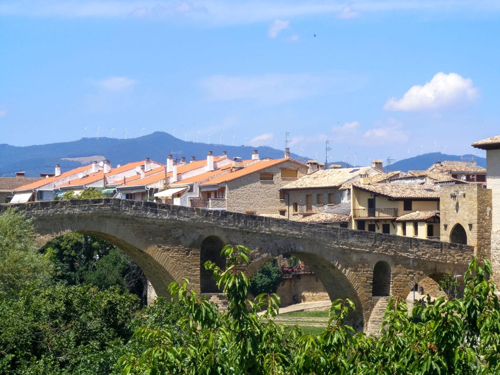
Major Cities on Route: Pamplona, Burgos, León, Santiago de Compostela
Types of Accommodation: Albergues, Hostels, Guest Houses, Monasteries, Hotels
Average Cost Per Person Per Day Now: 30-60 euros(can easily be cheaper or more expensive depending on your needs).
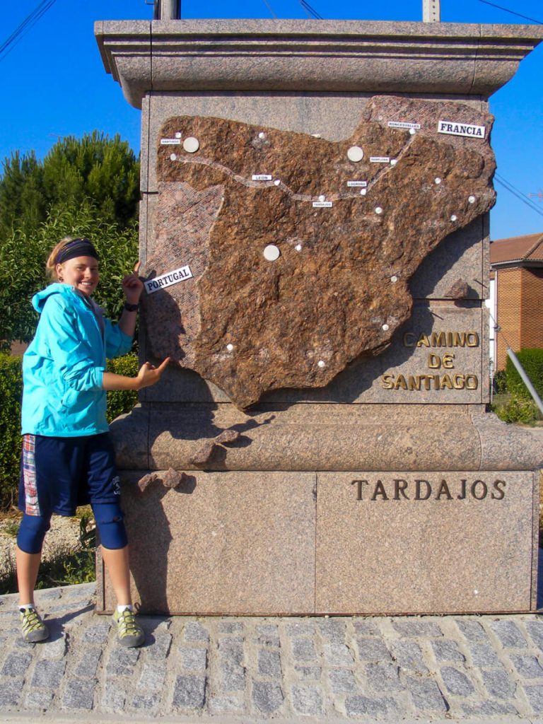
The Camino Frances is one of eight Caminos in Spain, but it is the most popular.
However, don’t be fooled…that doesn’t make it the easiest! It does have plenty of services, so you can have short or long days walking.
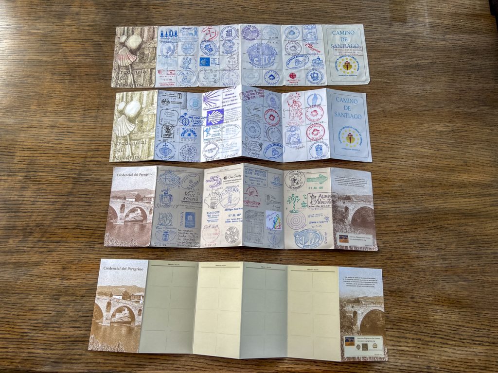
To walk the Camino de Santiago, you need a pilgrim passport or credencial. You can get them ahead of time in your home country (about 2 months ahead of time), or you can get them at the start.
The only requirement to getting the pilgrim passport is that you walk at least 100km or cycle at least 200km. You need this to both stay in albergues and to get your certificate of completion.
The pilgrim passport gets stamped by each albergue you stay in. You can also get stamps at various landmarks along the way. You only need one stamp per day until the last 100 kilometers, where you need two stamps per day. Plan your space wisely, or you’ll run out!
This means that you can start wherever you want on the route as long as you walk 100km to Santiago. Thus, the last 100km can get quite busy with those who cannot take as much time off work.
Camino Frances Stages
You’ll hear a lot of talk about stages.
A Camino stage is essentially a section of the walk that varies in distance.
The Camino de Santiago Frances is broken up into 31-34 stages, depending on the guidebook you’re reading. A lot of people plan their trips based on walking one stage per day.
However, after walking 4 different Caminos, including the Camino Frances, I find the stages rigid. They often feel like an antiquated, outdated way of planning in the age of GPS phone apps.
You can follow them each day; however, some of the best hidden gem albergues (accommodations) are in the middle of stages.
Instead, plan your walking days based on how you feel when walking. Do you feel like a long day or a short day to rest and recover? Do you want extra time to explore one of the larger cities?
Basically, be aware of them, but listen to your body when deciding how long to walk each day.
How Fit Do You Need to Be to Walk the Camino Frances?
Walking a long distance like the Camino Frances at 486 miles requires a certain degree of physical fitness. That degree is ultimately up to you. However, I recommend some prior training.
As a long-distance thru-hiker with over 20,000 miles of experience, I have started thru-hikes straight off the couch and with varying levels of initial fitness. The beginning is always more enjoyable with a solid base level of fitness, and you’re less likely to get an injury.
You don’t need backpacking experience to walk the Camino. But you should have walking experience, and you can do that wherever you are.
If you’ve never long-distance walked or hiked, start small and work yourself up! I recommend starting at least 3 months before the Camino.
I enjoy using a fitness watch to help me keep track of my training and make adjustments. I currently use a Coros Apex 4 watch, but you could also use your existing Apple watch or free apps on your phone.
3-Month Basic Walking Plan Pre-Camino
Any fitness you do before a Camino is good. It all helps, whether you’re an active runner, an elliptical user, or a Peloton enthusiast.
However, if you have no access to gym equipment or a gym membership, you can walk wherever you are. You can use free apps like Strava or MapMyRun to create routes around your neighborhood with specific distances.
The walking plan below is to help those who haven’t explored the fitness realm and are just beginning. You could also add this to your regular cardio or weight training.
Full Disclosure: I am not a fitness trainer, but this is what I had my Mom (65 years old) do before she successfully hiked the Camino Primitivo with me.
First Month:
BEGIN! The best way to get in shape for long-distance walking is to slowly increase your walking distance.
Week 1
- Walk 1 mile 3x
- Walk ½ mile 3x
Week 2
- Walk 1.5 miles 3x
- Walk 1 mile 3x
Week 3
- Walk 2 miles 3x
- Walk 1.5 miles 3x
Week 4
- Walk 3 miles 3x
- Walk 1.5-2 miles 3x
Second Month
Do every walk with a backpack with 5-8lbs (2.5/3.5 kilos).
You’ll feel the extra weight, so pay attention to your posture.
Week 1
- Walk 2 miles 3x
- Walk 1.5 miles 3x
Week 2
- Walk 3 miles 3x
- Walk 1.5-2 miles 3x
Week 3
- Walk 5 miles 1x
- Walk 3 miles 3x
- Walk 2 miles 2x
Week 4
- Walk 7 miles 1x
- Walk 3 miles 3x
- Walk 2 miles 2x
Third Month
Do this with your full Camino Backpack. You will quickly see how much everything in your pack weighs. Pull items out that you don’t need as you go.
Week 1
- Walk 5 miles 1x
- Walk 3 miles 3x
- Walk 2 miles 2x
Week 2
- Walk 7 miles 1x
- Walk 3 miles 3x
- Walk 2 miles 2x
Week 3
- Walk 7 miles 1x
- Walk 3 miles 3x
- Walk 2 miles 2x
Week 4
- Walk 3 miles 6x and make sure everything is set!
Best Times and Months to Walk the Camino Frances
When I walked the Camino Frances, I went in the middle of summer because I was already there for a summer study abroad AND because I didn’t know any better.
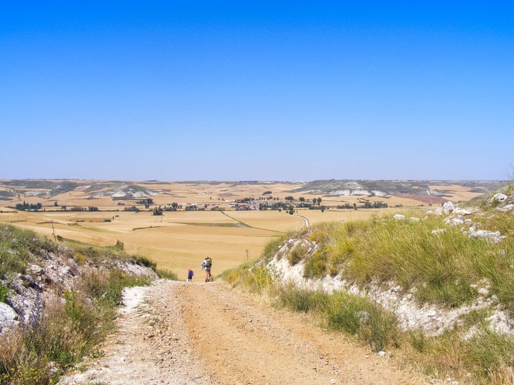
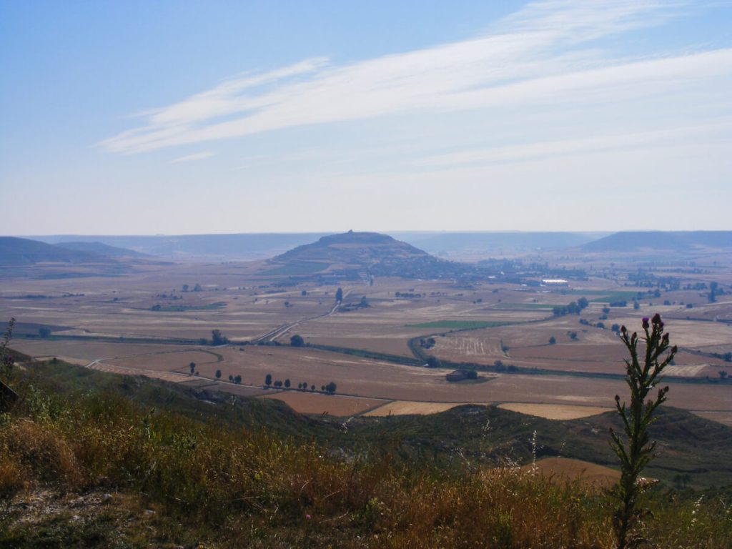
🥵 The middle of summer is HOT. You would be okay to start in St. John Pied de Port. You’d also be fine in Galicia. However, the north-central areas of Spain are dry, arid, and very hot in the middle of summer.
I avoided as much of the heat as possible by waking at 4 am to hike in the dark. That way, I could get in the miles I needed to by 1 pm. Then, I took a siesta in the albergue as soon as it opened.
Moreover, the busiest time is the middle of summer due to regular vacation schedules.
Thus, the best times to walk the Camino Frances are the spring, the beginning of summer, and the fall.
Before booking anything in the spring and fall, check the opening and closing dates of the albergues (pilgrim hostels) for the year. Many albergues are only open seasonally, from April to October/November.
Camino Frances Packing List
Carrying all your things on your back is a unique experience that many people have never had.
It distills life down to the basics. You need a little bit of clothing, a little bit of food, something warm, and your essential documents/electronics.
Walking with all your belongings shows you what’s really important. That is access to water, noting where you can get your next meal, and finding community along the way at albergues.
You need to pack the same items for any camino you do. The biggest thing to remember is: less is more.
What you don’t need is a tent, a sleeping pad, or a camping stove. You don’t need the extra clothes. You don’t need all the distractions of everyday life.
🚨 The one thing I wished I had on the Camino Frances was my backpacking umbrella, good for sun and rain. It would have made the Meseta desert stretch much better because it’s 5-10 degrees Fahrenheit (2-3 Celcuis) cooler beneath it. ☂️
The Essentials
☔️ Ultralight Umbrella (rain or sun!)
🚶♀️Trekking Poles (With Rubber Bottoms Added)
🪑 Sit Pad
⌚️Athletic Watch (not necessary, but fun)
Clothing & Layers
👟 Footwear (I prefer my Tevas 🩴)
🧢 Hat with a brim!
🧥 Fleece Mid-Layer (This is an easily available Melanzana look-a-like)
🌧️ Rain Jacket
Albergue Needs
😴 Lightweight Sleep/Town Clothes (I used this shirt and shorts)
🧖♀️ Fast Drying Towel
🛏️ Silk Liner (Super light sheet)
🛌 Lightweight Quilt (Bed bugs in old blankets are gross)
🛍️ Reusable Bag
📔 Camino Passport (you can get ahead of time or in Porto)
If you’d like to see my full Camino packing list with more information behind each item, you can see it here:
Helpful Phone Apps for the Camino Frances
The Caminos de Santiago have entered the digital age. They have all embraced GPS navigation apps.
Inside the GPS apps, you’ll find the most up-to-date albergue information, as well as WhatsApp phone numbers and booking links.
There are several main GPS navigation apps, and when used in combination, they yield all the information:
FarOut:
As a thru-hiker in the US, having Far Out on a Camino is awesome. This wasn’t around when I hiked the trail, but I used it on the Camino Finisterre/Camino Muxía after the Portuguese Camino. Finisterre and Muxía are included in the Camino Frances bundle!
Pros: IMO, this is the best for navigating. You can click on waypoints ahead to see how far you have to go. FarOut Guides also has the most functional offline maps. It also gives you the best wider view of what’s coming up next. The Camino Frances is an inexpensive in-app purchase.
Cons: It doesn’t have all of the albergues. It only has some and skips over several.
Wise Pilgrim:
This app imitates the older guidebook style very well. It is jam-packed with information and is relatively user-friendly. It’s a low-cost one-time app fee.
Pros: This app has some of the best albergue information on the map view. The prices were not totally accurate, but they were in the ballpark.
Cons: It has offline navigation maps, but they frequently glitch. I found the map more usable when my eSIM was providing data.
Buen Camino:
This is a free app with maps, albergue information, and some historical information.
Pros: It’s free. It sometimes has albergues that aren’t on the two apps above.
Cons: The offline maps glitch when they’re actually offline. They worked ok with an eSIM. The guidebook-style history also had a frequently negative vibe that somehow often had opinions in it.
Camino Ninja:
This free app can help you get a pulse on which services will be available throughout your day.
Pros: It’s free. It distills your day into bite-sized chunks with rough distances between cafes, stores, albergues, etc.
Cons: The mileage was off by 1/2 mile to 1 mile (1-2 km) almost every day I used it. It also didn’t have the most up-to-date information on the service hours. Several times, it suggested a café existed, only to find it was either outside business hours or permanently closed.
Airalo eSIM
If you’re coming to the Camino Frances internationally, I highly recommend getting an eSIM. This has saved me many times on my most recent Camino walk when offline maps glitched, or I needed to book an albergue away from wi-fi.
An eSIM gets installed on your phone and can be topped off with data as needed. Thus, no more pulling out a physical SIM card and safely storing it somewhere!
My #1 tip is to buy the eSIM that lasts the entire trip. You can top off the data, but it won’t change how long it remains active.
Your time won’t start until you land and activate the eSIM.
For example: If your Camino Frances trip is planned for May 15th-June 25th, you’ll want to buy the 90-Day Europe eSIM. You can use this in 42 different countries on your way to and from the Camino as well.
Another example: If you’re going faster and your trip will be 30 days or less, pick up the 30-Day Spain eSIM, which is a little less expensive.
NordVPN
I’m a HUGE fan of VPNs when traveling. I’ve used NordVPN for two years now to protect my data and credit card transactions, and to access streaming services from the US while abroad.
Since activating this VPN on my phone, I have not gotten my credit card information stolen.
It gives me peace of mind to check my online banking details while abroad.
Getting To and From the Camino Frances
If you consider the transportation to and from the Camino Frances a mini adventure, you’ll have more fun.
Getting to St. John Pied de Port
Getting to St. John Pied de Port is a bit more of an adventure than leaving Santiago de Compostela.
If you’re coming from Europe, you’ll have more options for regional airports to fly into or take a train.
However, if you’re coming from the U.S., you’re most likely to find the cheapest flights to either Madrid, Spain, or Paris, France.
🇫🇷 From Paris:
🚍/🚊/✈️ First, you’ll take a bus/train/plane to Bayonne, France.
🛌 You’ll likely need to spend the night in Bayonne.
🚊 Then, you’ll take the train from Bayonne to St. John Pied de Port.
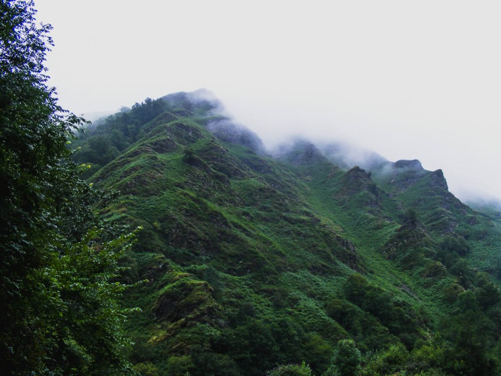
🛌 It’s likely a good idea to spend the night in St. John Pied de Port so you can get a relaxed morning start for your walk into the mountains.
🇪🇸 From Madrid:
🚍/🚊/✈️ First, you’ll take the bus/train/plane to San Sebastián.
🚍 Then, take the bus from San Sebastián to Bayonne.
🛌 You’ll likely need to spend the night in either San Sebastián or Bayonne.
🚊 Lastly, you’ll take the train from Bayonne to St. John Pied de Port.
🛌 It’s likely a good idea to spend the night in St. John Pied de Port so you can get a relaxed morning start for your walk into the mountains.
Leaving from Santiago de Compostela
This one is a little easier than St. John Pied de Port!
At the end of the Camino Frances, Santiago de Compostela has an airport, train station, and bus station!
If you walked out to Finisterre or Muxía, you’d hop the local bus back to Santiago. This is what I did after the Camino Frances, Camino del Norte, and the Portuguese Camino. After the Camino Primitivo, my Mom and I walked back to Santiago (not my favorite option).
Depending on where you live, the airport may be a more convenient option.
After completing all four of my Camino walks, I found the train or bus to be the best option for me.
Coming from the U.S., flights were significantly cheaper when flying into Madrid. Thus, the train and buses run between Madrid and Santiago at least twice a day.
Camino Frances Accommodation: Where You Sleep on the Camino
Of all the four Caminos that I’ve walked, the Camino Frances had the most accommodation options.
You’ll have a wide range of accommodations from municipal albergues on the inexpensive end to hotels at the other end.
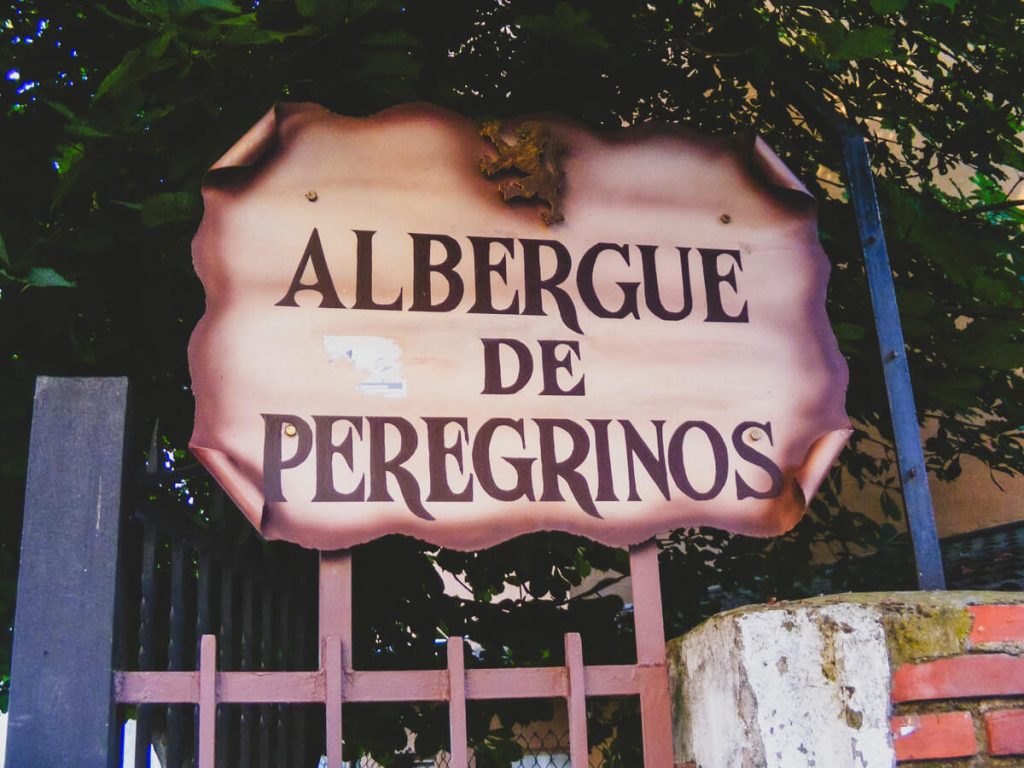
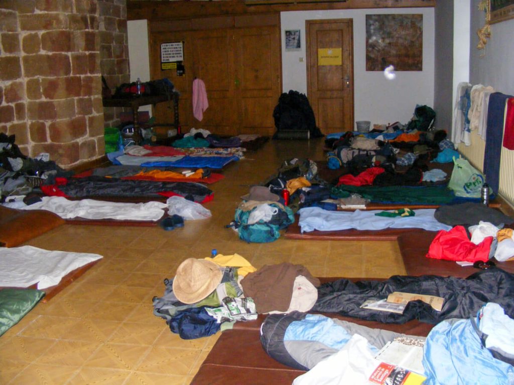
Most pilgrims will choose to stay in the various albergues. These are pilgrim hostels that you can only stay in with your pilgrim passport or credential.
They’re often basic, but cozy. I’ve found the best way to meet others while walking is not while walking, but when everyone relaxes together in the albergues.
I usually find my favorite albergues between the stages. They often get fewer people, but have a lot of charm.
While no one likes to talk about it, bed bugs do and can exist anywhere on the Camino.
The BEST way to protect yourself is to do a thorough check before using any of the albergue’s services (e.g., showers, kitchen, laundry, etc).
I have a simple 8-point checklist I use for each albergue. It has definitely saved me! Because we checked soon, we got a refund and did not get bed bugs.
Eating Options: From Restaurants & Cafés to Grocery Store Picnics and Kitchen Cooking
One of the most significant ways to save money on the Camino Frances is to moderate how much you eat at restaurants.
When you do eat at restaurants, try to opt for ones that advertise pilgrim meals. Those will be the most bang for your buck. They usually consist of 2-3 courses with wine for a reasonable price.
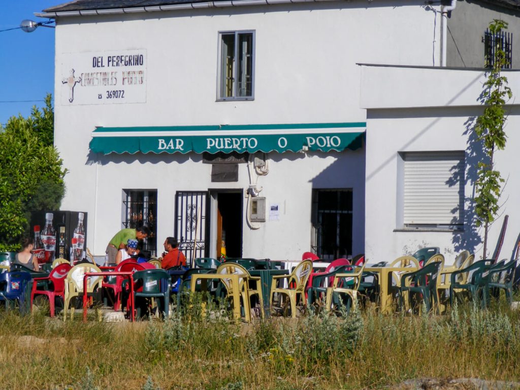
In Spain, I found cafés relatively affordable for a quick snack and coffee or tea. They often have affordable boccadillos (sandwiches) as well.
However, if you have any dietary restrictions, such as a plant-based diet or gluten-free needs, pay attention to the grocery stores.
Many, but not all, albergues have kitchens. You can call ahead to see what they have on hand: a full range, just a microwave and fridge, or nothing at all.
I highly recommend keeping an eye on all the upcoming grocery stores, so you always have some emergency snacks or a quick meal.
As someone who hikes on a plant-based diet, I found myself having a lot of picnics. This not only saved me money, but it also provided a lot of variety in my diet.
I have a few tricks up my sleeve for a successful vegan Camino, which I’ve written about in its own guide:
Getting to Santiago + Compostela Certificate Pro Tips!
The last 100km into Santiago will be hectic no matter when you walk.
Basically, expect a significant increase in people walking. You’ll likely even see whole tours of people with nothing but a water bottle and a jacket who have their stuff bused ahead.
Here, I recommend booking your albergues 1-2 nights in advance to reduce stress.
🚨 A day before you get to Santiago, fill out this form to get your finishing certificate or Compostela. This form will generate a QR code for you. Check your spam if you don’t see it in your email (it went to mine).
When you get to Santiago, you need that QR code. They literally won’t let you into the building without it.
Once you scan your QR code, you’ll receive another QR code with your place in line for the Compostela.
🚨 🚨 If you have limited time, make sure you do this ASAP when you get to Santiago. During busy times, you may need to wait hours or until the following day. After that, there is souvenir shopping galore. I preferred the opportunity to eat at more specialty restaurants rather than get excess items. It always felt a little weird to me, after walking with the bare minimum, to suddenly be thrust into something so commercial.
To Continue to Finisterre or Muxía?
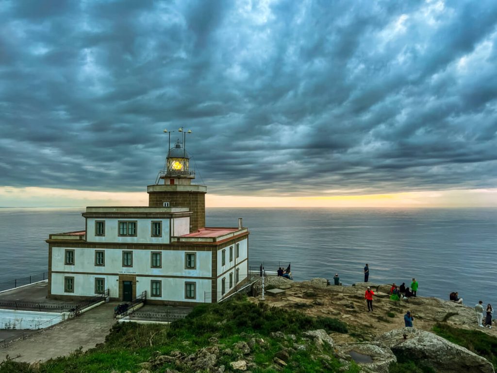
I love the idea of walking in one direction until you can’t walk anymore, and that means continuing west to Finisterre or Muxía!
The Atlantic Ocean makes for an excellent finish to a long walk. You can watch the sunset over the waves and breathe the ocean air.
If you’ve already walked all the way to Santiago, you might as well walk an extra 90 kilometers!
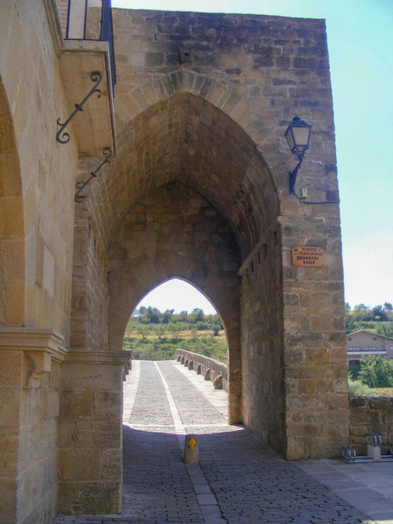
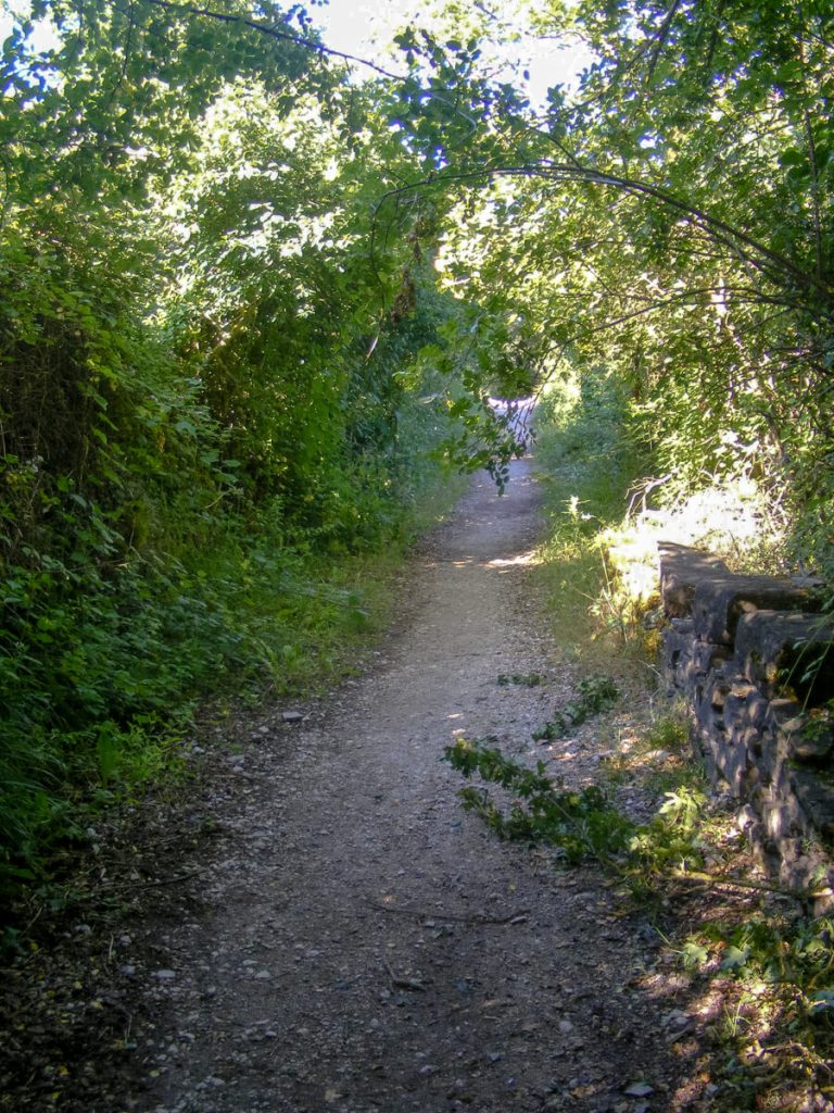
The walk itself is fantastic. It’s forested, a bit hilly, and has a beautiful bridge over a river.
For the first 60 kilometers or so, the walk is the same. Then, there is a split, and you can pick either Finisterre (left) or Muxía (right).
If you have time, you can also walk 28 km between the two!
🚍 If you don’t have time for the extra 90 km, you can always hop on a guided tour or take the local bus there and back for the day.
The local buses run 3-5 times per day, depending on the season, and are inexpensive. If you go this route, get both tickets at once because they can sell out!
Alternatively, you can book a small one-day tour and be driven around for a full day. This takes the stress off of making bus times and lets you see a few extra sights along the way!
I walked each time; however, I took a small group tour from Lisbon after the Portuguese Camino, and it was so fun to jump on and not worry about any planning.
Final Thoughts
The Camino Frances was my first long-distance trail and set me up for long-distance hiking and backpacking.
It’s fantastic if you’re a “one-and-done” or if you want to see if you can walk 500 miles as a test for more.
It gave me a whole new perspective on my stuff when I returned. I could clearly see which physical items were weighing me down mentally after feeling which items weighed me down physically.
I hope you find what you’re looking for on your journey across the Camino de Santiago Frances!
📌 Pin It For Later Reference!